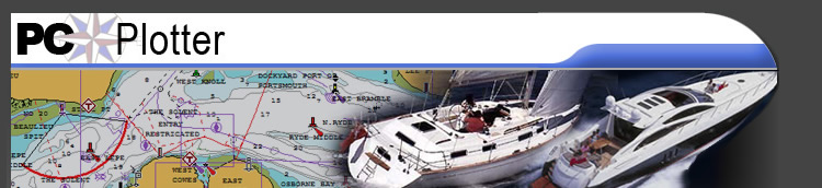
Testimonials
What do our customers think?
'I have had PC Plotter on my computer for many
years and it has worked really well'
Peter Silcock, 20 years a sailor, 30 ft Fast cruising Cat wrote:-
I decided that a computer on board would form the hub of the electronic charting, navigation and planning system. I wanted a chart system that provided the following features:-
- Vector Chart with Zoom and layer switching
- Simple, instinctive operation with BIG BUTTONS when sailing
- Automatic data collection
- Easy route planning with quick route clicking and detour routes
After careful research I chose PC Plotter because:-
- Excellent, clear charts, showing just the information you want
- Excellent "At Sea Buttons"
- Data is logged automatically and can be exported/imported to Excel
The confidence given from seeing your position and track "before your very eye's" is amazing, enabling short-handed trips to be very restful. The paper chart is in the nav area but seldom opened.
Regulation 34 - Safe Navigation and Avoidance of Dangerous Situations now applies to us Yotties, covering passage planning, contingency planning, weather, limitations of the boat, crew, and navigational dangers. PC Plotter is the ideal way to easily plan a trip and print out a plan taking weather and tides into account.
Trips can be planned from home, for any date in the future. Contingency plans are a cinch, diverting to other ports, etc or have one for every port.
The PC Plotter Web site answers questions and provides full support for PC Plotter. Download a demonstration system from the Web site - the best thing is to just play with it. Then buy a full copy with chart and see how "real time" on the water it will change sailing.
Geir Evjen - experienced sailor
I‘m very pleased with the software - I have used it intensively for 3 years and here is a summarize of what I see as the main advantages:
· Navionics charts can be downloaded to local PC and displayed in the PC Plotter.
· Can be used as a standalone plotter or as an intergraded part of a NMEA 2000 system.
· Perfect for route planning since you can export routes and WP to almost any plotter.
· Possible to overlay GRIB files making planning around weather systems easy.
· GRIB files can be imported to the software using any source.
· Possible to overlay AIS target information with prediction.
· Possible to view local tide stations.